See attached submission
Context - The Bigger Picture
Closed31 Jul, 2020, 08:30 - 28 Sep, 2020, 23:59
The Plan sits within a hierarchy of plans and is required to have a Core Strategy which will show that the objectives in the plan are consistent with the objectives set out in National and Regional Strategies.
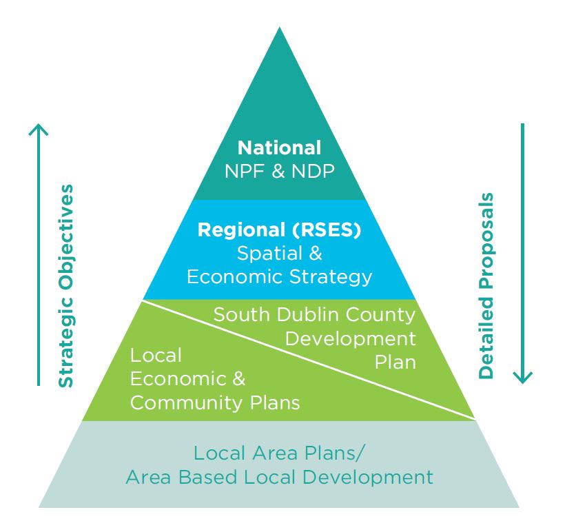
The National hierarchy of spatial plans consists of the National Planning Framework (NPF) underpinned by the investment priorities set out in the National Development Plan(NDP) The Regional Spatial and Economic Strategy (RSES) then sets out the regional framework for the implementation and delivery of the NPF.
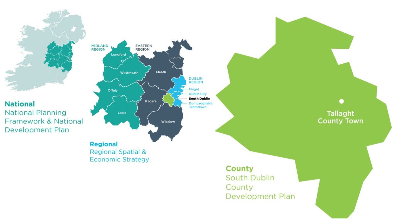
The RSES includes a Metropolitan Area Strategic Plan (MASP) which encompasses the entire County of South Dublin. The MASP identifies strategic residential and employment corridors based on their current and future development capacity, their ability to deliver outcomes such as compact development, place making, accessibility to public transport, potential for economic development and a reduced carbon footprint.
The key corridors identified in the MASP for South Dublin are the Naas Rd/Ballymount and South-West corridors supported by the LUAS red line.
The RSES is underpinned by these three cross cutting principles. The Development Plan will need to include policies to encompass these principles.

Contents
References
Observations
Observations
Submission re access to countryside and related issues
See attached submission